Flat Earth is a claim that Earth is not a globe (often framed as a plane or disk) and that mainstream astronomy, geodesy, and spaceflight interpretations are wrong or deceptive. This article tests the Flat Earth claim against some of the most directly checkable counterevidence—especially observations and measurements that are reproducible without special authority—while also noting where misunderstandings commonly arise.
This article is for informational and analytical purposes and does not constitute legal, medical, investment, or purchasing advice.
The best counterevidence and expert explanations
-
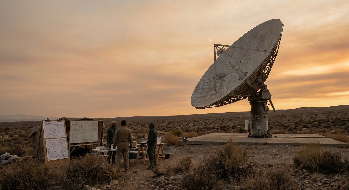
Foucault pendulums (Earth’s rotation is measurable in a lab setting): A Foucault pendulum’s swing plane appears to rotate over time because Earth rotates beneath it; the rate depends on latitude (it’s fastest at the poles, zero at the equator). This is widely described as a laboratory demonstration of Earth’s rotation rather than a map projection trick. Why it matters: Many Flat Earth variants require either no rotation or a fundamentally different kinematics model. A latitude-dependent precession rate is hard to reconcile with a stationary plane. Limits: A pendulum is sensitive to local setup and disturbances; skeptics sometimes argue “hidden mechanisms,” but the phenomenon is repeatable and predicted by rotational dynamics.
-
Measuring Earth’s curvature with shadows (Eratosthenes-style geometry): The classic method compares the Sun’s angle (via shadow length) at two different locations at the same time; differences in angle are consistent with a curved surface and allow estimating Earth’s circumference close to modern values. Modern educational replications explain the geometry and error sources. Why it matters: Flat Earth models must account for why two vertical sticks at different locations produce systematically different solar angles under predictable conditions. Limits: Accuracy depends on time synchronization, stick verticality, and distance measurement; poor setups can produce noisy results.
-
Space-based full-disk Earth imagery (multiple datasets and missions): NASA’s “Blue Marble” visualizations describe how full-disk Earth images can be created from satellite observations and mapped onto digital elevation models; NASA also documents how composites differ from single photographs like Apollo-era imagery. Why it matters: Flat Earth claims often argue that all space imagery is “fake.” But the counterevidence here is not a single image—it’s an ecosystem of Earth-observing data products, methods, and cross-checks (including NOAA-operated satellites cited in NASA descriptions). Limits: Some widely shared “Blue Marble” images are composites, which can fuel confusion; composites are not the same thing as fabricated data, but they do require careful explanation.
-
Geodesy and the geoid (Earth’s shape measured for surveying and elevation): NOAA explains the geoid as a model of global mean sea level used for precise surface elevations and notes Earth is not a perfect sphere; the equatorial radius is larger than the polar radius due to rotation, plus regional gravity variations affect the “bumpy” geoid surface. Why it matters: This is operational: modern positioning and surveying workflows rely on Earth-shape models. A flat Earth would require a different, consistently successful global mapping and elevation system that matches real gravity and sea-level behavior at scale. Limits: “Geoid” can be misunderstood as “the shape of the solid Earth.” It’s a gravity/sea-level reference surface, not a statement that Earth is lumpy like a potato at everyday scale.
-
Large-scale atmospheric/ocean dynamics and the Coriolis effect (rotation impacts patterns): Educational explanations note that apparent deflection in large-scale motion is tied to Earth’s rotation, with effects varying by latitude and hemisphere; these principles help explain broad weather circulation patterns (while also clarifying misconceptions like “toilets prove Coriolis,” which they don’t). Why it matters: Flat Earth proposals often replace mainstream dynamics with ad hoc rules; rotation-based models explain a wide range of global patterns with one consistent framework. Limits: Coriolis is subtle at small scales; it’s strongest for long-distance flows and is not reliably observable in sinks/toilets.
Alternative explanations that fit the facts
When the Flat Earth claim is checked against the counterevidence above, the simplest alternative that fits the documented observations is the mainstream view used in geodesy and astronomy: Earth is a rotating, approximately spherical body (more precisely: slightly flattened at the poles), with a gravity field that varies regionally and produces a geoid reference surface used for precise measurement.
That alternative explanation also reduces the need for “special-case” rules. For example, one framework (rotation + geometry + gravity) predicts the latitude dependence of Foucault pendulums, shadow-angle differences used to estimate circumference, and large-scale atmospheric deflection patterns.
What would change the assessment
Because Flat Earth is a broad claim with multiple versions, “changing the assessment” would require more than pointing to anomalies or mistrust of institutions. It would require a coherent, testable model that matches observations at least as well as existing models. Examples of evidence that would materially change an evidence review include:
-
A predictive geometry/physics model that can quantitatively reproduce shadow-angle differences across many city pairs (not just one example), with publicly verifiable time/location metadata and error analysis comparable to standard replications.
-
A reproducible explanation for Foucault pendulum latitude dependence that works across independently operated installations without hidden drives or location-specific “patches.”
-
An operational global surveying/elevation alternative that performs as well as geoid-based workflows for real-world engineering and mapping, and is demonstrably consistent with measured gravity variations and sea-level reference concepts.
-
Transparent, cross-checkable observational predictions (e.g., what different observers at different latitudes should see in the sky on specified dates/times) that consistently outperform mainstream predictions.
Evidence score (and what it means)
Evidence score: 92/100
-
Multiple independent lines of evidence (lab demonstrations of rotation, geometry/shadow measurements, geodesy/gravity modeling, large-scale atmospheric dynamics) converge on a non-flat Earth explanation.
-
Key tests are repeatable without requiring privileged access (e.g., shadow-angle experiments; observing latitude dependence in rotation demonstrations), reducing reliance on institutional authority alone.
-
Institutional datasets (e.g., NOAA/NASA Earth observation and geodesy references) are accompanied by methodological descriptions, but some public controversy persists around composites vs photographs—an issue of communication more than measurement.
-
The score is not 100 because the Flat Earth claim is often elastic (shifting models), making it harder to falsify “the movement” as a whole; evidence reviews can only assess specific, testable assertions at a time.
Evidence score is not probability:
The score reflects how strong the documentation is, not how likely the claim is to be true.
FAQ
Does the Flat Earth claim have a single, testable model?
Often it does not. “Flat Earth” is frequently presented as a conclusion rather than a single predictive framework. That makes evidence testing harder, because different versions may accept or reject different observations. A strong test requires a specific model that makes numerical predictions.
What is the simplest counterevidence a non-expert can check for Flat Earth?
One accessible approach is an Eratosthenes-style shadow comparison conducted carefully (same date/time, known distance, vertical sticks, measured angles). Many educational guides describe the geometry and error sources and show how results align with a curved Earth estimate.
How does a Foucault pendulum relate to Flat Earth?
A Foucault pendulum is widely presented as a laboratory demonstration of Earth’s rotation, with a rotation rate of the swing plane that depends on latitude. Flat Earth variants that deny rotation (or require radically different kinematics) must explain why this latitude-dependent behavior is observed in practice.
Are NASA “Blue Marble” images photographs or composites—and does that matter?
NASA explains that some widely used full-disk “Blue Marble” visuals are composites built from multiple satellite scenes and datasets, while also noting that the original Apollo-era “Blue Marble” is a photograph. This matters because “composite” can be misread as “fake,” when in many cases it means a visualization built from measured data with documented processing steps.
What does NOAA’s “geoid” explanation have to do with the Flat Earth claim?
NOAA describes the geoid as a global mean sea-level model used for precise elevations and notes Earth is not a perfect sphere (including equatorial bulge due to rotation and regional gravity differences). These are practical tools used for measurement; any Flat Earth alternative must account for why such models work consistently at global scale.
Science explainer who tackles space, engineering, and ‘physics says no’ claims calmly.